
This map was created using GPS Visualizer's do-it-yourself geographic utilities.
Please wait while the map data loads...
From: Chapel Stile
Parking: Roadside in Chapel Stile
Start Point: Chapel Stile
Region: Central Fells
Route length: 12.0 miles (19.31km)
Time taken: 05:18
Average speed: 2.3mph
Ascent: 1,188m
Descent: 1,188m
Wainwrights on this walk:
Silver How (395m), Loughrigg Fell (335m)
Additional summits: Lang How (414m)
Other points of interest: Rydal Cave, Skelwith Force
Separating Great Langdale from Grasmere is a large area of interesting fell, with no real discernible characteristics. Ultimately, this land rises up to High Raise, perhaps the single most central point of the National Park. The area contains much of its parents' features; undulating, grassy fell side lacking in any real drama or difficulty. That said, the ridge falls over the secondary summit of Blea Rigg before reaching Silver How, an abrupt termination towering above Grasmere. Though not even the high point of the ridge it belongs to, it provides a grandstand view of Grasmere and Rydal and the neighbouring Loughrigg Fell, another small but hugely popular hill.
Our route would cross both of these fells in a circuit from Chapel Stile to Grasmere and back which included a decadent stop for lunch. It's not often you get a warm butty while you're out tramping the Lakeland fells. It would also avoid most of the inevitable Bank Holiday crowds who are inordinately drawn to the higher, more famous peaks. These small fells though, nestled in between and underneath their loftier brothers, do have the benefit of hosting spectacular views without the effort of a long, weary climb.
After leaving the car on the road in Chapel Stile, the small village that guards the entrance to Great Langdale, we quickly made our way to the church where, a short distance beyond, a path starts a steep climb up out of the valley. It's an interesting little climb, part stepped path, part scramble. It was going to be an entertaining morning above Grasmere.
 |
| Entering Chapel Stile |
 |
| The path leads from the road to the gate and beyond |
 |
| Looking along the end of Great Langdale past Raven Crag |
 |
| Megs Gill |
 |
| Black Fell in the distance |
 |
| The foot of the scramble in Megs Gill |
 |
| The gill provides an interesting route up |
 |
| Inside Megs Gill |
 |
| Sara bypasses the tree at the top of Megs Gill |
 |
| Megs Gill |
 |
| Looking out of Megs Gill into Great Langdale |
 |
| A final fall to negotiate |
 |
| One of a number of outcrops on the plateau |
 |
| Lingmoor Fell and Great Langdale |
 |
| A moody Langdale Pikes |
 |
| Lang How above a small, unnamed tarn |
 |
| Atop Lang How |
 |
| Helm Crag and Seat Sandal remain cloud free |
 |
| The Langdale Pikes remain looking moody |
 |
| The view of Grasmere from Silver How |
 |
| Silver How summit |
 |
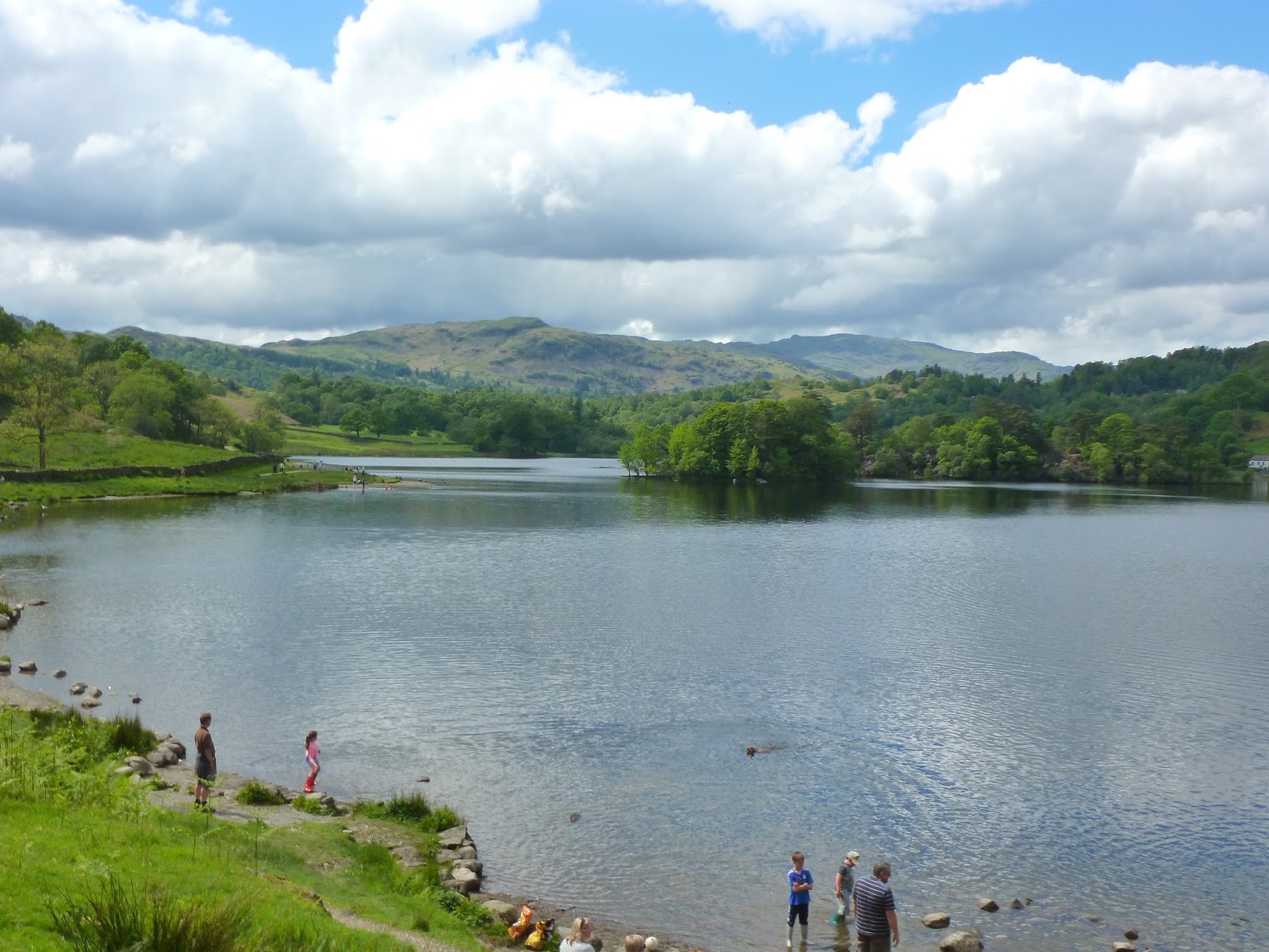
| Grasmere and Rydal Water |
 |
| Crossing Wray Gill |
 |
| Helm Crag |
 |
| Helm Crag and Steel Fell as the cloud starts to lift |
Leaving Grasmere, we passed Dove Cottage, home to William Wordsworth for 8 years and location where he wrote many of his more famous pieces. We also passed the pleasant cottage we used for a week-long holiday a year or so ago. It's the perfect base for walking around the Grasmere area, you can start the Fairfield horseshoe from the front door. You can read about that day out here. Beyond the cottage is the corpse road, an ancient route where coffins were carried from Ambleside to be buried in Grasmere. There is even a large stone, some call it 'the coffin stone' or 'the resting stone' that was used by the pallbearers if they needed a stop.
 |
| The resting stone |
 |
| Sara on the corpse road |
 |
| The footbridge crossing the River Rothay |
 |
| Rydal Water from the slopes of Loughrigg Fell |
 |
| Rydal Cave |
 |
| High Pike and Low Pike on the Fairfield Horseshoe |
 |
| The interesting slopes of Loughrigg Fell |
 |
| The final climb up to the summit |
 |
| The trig pillar atop Loughrigg Fell |
 |
| How many fells can you spot? |
 |
| The pass of Dunmail |
 |
| The Langdale Pikes |
 |
| Elter Water |
 |
| Leaving Loughrigg Fell |
 |
| The path heads towards Loughrigg Tarn and Tarn Foot |
 |
| Loughrigg Tarn |
 |
| Skelwith Bridge |
 |
| Looking down Skelwith Force |
 |
| Skelwith Force |
 |
| Skelwith Force |
 |
| The Cumbria Way heads towards Great Langdale |
 |
| Reflections in the River Brathay |
 |
| Harrison Stickle dominates the skyline |
No comments :
Post a Comment