Friday 26 February 2016

Bannerdale Crags, Bowscale Fell & The Tongue

Bannerdale Crags & Bowscale Fell 26-02-2016

This map was created using GPS Visualizer's do-it-yourself geographic utilities.

Please wait while the map data loads...


Route: Mungrisdale, River Glenderamackin, Bannerdale Crags east Ridge, Bannerdale Crags, Bowscale Fell, The Tongue. Mungrisdale

Date: 26/02/2016
From: Mungrisdale


Parking: Roadside parking at Undercrag
Start Point: Mungrisdale
Region: Northern Fells

Route length: 5.7 miles (9.2 km)
Time taken: 02:28
Average speed: 2.3 mph
Ascent: 596m
Descent: 590m

Wainwrights on this walk:
Bannerdale Crags (683m), Bowscale Fell (702m)

Additional summits: The Tongue (553m)

Other points of interest: Bannerdale Crags east ridge

Some fine weather has finally taken hold in the Lake District I was keen to make the most of a pre-arranged weekend with friends. In order to achieve this, I took Friday off work, partly on account of having a doctor's appointment but mainly because the forecast was looking very promising. I didn't anticipate arriving until after lunch so I chose a shorter walk than normal that I'd be able to squeeze into a winter afternoon.

I picked Bannerdale Crags after being recommended the east ridge by a friend. I climbed the fell last summer but our hopes of a view of its impressive crags were thwarted by grey skies and rain. Today would be different. The route would take me up the east ridge to the summit, along to Bowscale Fell and return down The Tongue, a ridge worthy of a place as a Wainwright but mysteriously overlooked.
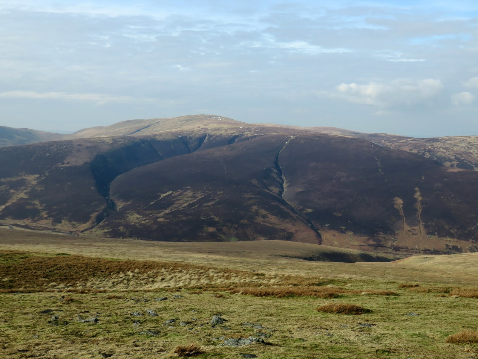
The Tongue with Bannerdale Crags in the distance
Parking at Undercrag close to Mungrisdale, I made my way up the River Glenderamackin into the narrow entrance to Bannerdale, constrained by the flanks of Souther Fell and The Tongue. It wasn't long before I came across further evidence of the destruction caused by Storm Desmond where a bend in the river had washed away the path and the abutments of the footbridge. Crossing the river was at the discretion of the walker but presented only a minor challenge.
The washed-out section of path
Looking towards Bannerdale Crags
The path stays low, following the river as it skirts the back of Souther Fell before an indistinct track veers off up the hillside. This route leads directly to the foot of Bannerdale Crags' east ridge. After an initial steepness, the path flattens as the ridge and crags come into view; it's a great approach to any fell.
The River Glenderamackin
Souther Fell


Bannerdale Crags east ridge
The east ridge looks intimidating from afar but is no more than a simple scramble up through rocks and heather. It was a little disappointing to find no snow on the ridge but it was an entertaining climb nonetheless. Partway up the ridge is the remains of an old lead mine, a common feature across the Lake District. The hut lies around halfway up the ridge.
Bannerdale Crags and Bannerdale
The east ridge
Looking up the east ridge
The ruins of the hut on the ridge
View down the ridge from the hut
While there was no snow on the ridge, there were still some impressive cornices hanging over the lip of the crags - certainly ones worth avoiding. Fortunately, the last climb from the ridge is across a gentle grass slope rather than having to negotiate any serious snow. The summit lies almost directly at the top of the ridge and has a wonderful view of Blencathra which was looking splendid with a covering of snow. The crags that give Bannerdale its name are not to be sniffed at either.
Bannerdale
Bannerdale Crags
Cornices below the summit
Bannerdale Crags summit
Clouds over Scales Fell
Blencathra
Blencathra
Looking towards Bowscale Fell
With the sun emerging from behind the clouds I wandered over to Bowscale Fell which stands a mile or so north of Bannerdale Crags up an easy incline. The sun catching Sharp Edge did make a trip to Blencathra tempting but I promised to save it for last and I'll return later in the year to complete it.
Foule Crag
Bannerdale Crags
Bowscale Fell summit
Knott
The ridge that forms The Tongue gently falls away from the summit of Bowscale Fell before a slight rise to form a notable top. The sun was out in force by now, casting my favourite sort of afternoon light into Bannerdale. A steep descent from The Tongue takes you back to the path in Bannerdale, once more having to negotiate the section that had been washed away by the floods.
High Pike
Looking back to Bowscale Fell
The Tongue
Souther Fell
The River Glenderamackin
The Tongue
Safe to say this is a great little walk, perfect for a morning or afternoon as it should only take a few hours. I had been disappointed having not seen the views on our first visit and Bannerdale Crags is well worth saving for a nice day - it's a rocky highlight in the grassy northern fells.

No comments :

Post a Comment