
This map was created using GPS Visualizer's do-it-yourself geographic utilities.
Please wait while the map data loads...
Route: Grasmere, Easedale Road, White Crag, High Raven Crag, Helm Crag, Bracken Hause, Gibson Knott, Moment Crag, Calf Crag, Shoots, Steel Fell, Cotra Breast, Helmside, Ghyll Foot, Grasmere
Date: 09/12/2017
From: Grasmere
Parking: A591 Layby
Start Point: Grasmere
Region: Central Fells
Route length: 7.8 miles (12.55 km)
Time taken: 03:58
Average speed: 1.97 mph
Ascent: 743m
Descent: 752m
Wainwrights on this walk:
Helm Crag (405m), Gibson Knott (422m), Calf Crag (537m), Steel Fell (553m)
Other Summits: None
Other Points of Interest: Far Easedale, Greenburn
Despite the modest height of the surrounding fells, a circuit of the Greenburn valley has so far defeated me on three previous occasions; wind, rain and wind-blown snow being the main culprits. This time, however, there was nothing standing in the way of finally joining up the route between Helm Crag and Steel Fell.
It was a promising forecast, sun for much of the day but cold with a significant dusting of snow. It had all the hallmarks of a great day out.
The starting point I've used many times is the long layby along the A591 as it leaves Grasmere to the north, heading for Dunmail Raise. Arriving here early is the key as, even on quiet days, it can quickly fill up. A short stroll through the village is required to reach Easdale Road which begins the route towards Far Easedale.
 |
| Helm Crag basking in the morning sun |
 |
| The fells above Far Easedale |
 |
| Silver How |
 |
| The way is pretty clear |
 |
| Easedale Beck |
 |
| Easdale Beck and Easedale |
 |
| Brimmer Head Farm |
 |
| Tarn Crag |
 |
| 'NOT FOR CARS' |
 |
| The lower part of Helm Crag's path |
 |
| Sun over Loughrigg Fell |
 |
| Easedale |
 |
| Blea Rigg |
 |
| Far Easedale |
 |
| The icy path on Helm Crag |
 |
| Grasmere |
 |
| Stone Arthur |
 |
| Seat Sandal, Fairfield, Great Rigg, Stone Arthur and Heron Pike |
 |
| The Langdale Pikes |
 |
| Helm Crag's 'Lion' |
 |
| Looking through Dunmail Raise towards Thirlmere |
 |
| Helm Crag's summit with Dunmail Raise in the background |
 |
| Bracken Hause, Gibson Knott, Greenburn Bottom and Steel Fell |
 |
| Steel Fell, Dunmail Raise and the Helvellyn range |
 |
| Helm Crag from Bracken Hause |
 |
| Easedale and Silver How |
 |
| Far Easedale |
 |
| Gibson Knott's summit looking towards Steel Fell |
 |
| Steel Fell |
 |
| Tarn Crag and Blea Rigg |
 |
| The ridge route towards Calf Crag |
 |
| Seat Sandal with Fairfield behind |
 |
| Blakerigg Crag on Steel Fell |
 |
| Far Easedale |
 |
| A brief break in the clouds |
 |
| The imposing Deer Bields |
 |
| Far Easedale panorama |
 |
| Pike of Carrs |
 |
| Looking back along Far Easedale |
 |
| Deer Bields, Blea Rigg and a distant Wetherlam |
 |
| Approaching Calf Crag |
 |
| The final plod to the summit |
 |
| Calf Crag's summit cairn |
 |
| High Raise |
 |
| High Raise panorama from Calf Crag |
 |
| Far Easedale |
 |
| Blue skies over the Helvellyn range |
 |
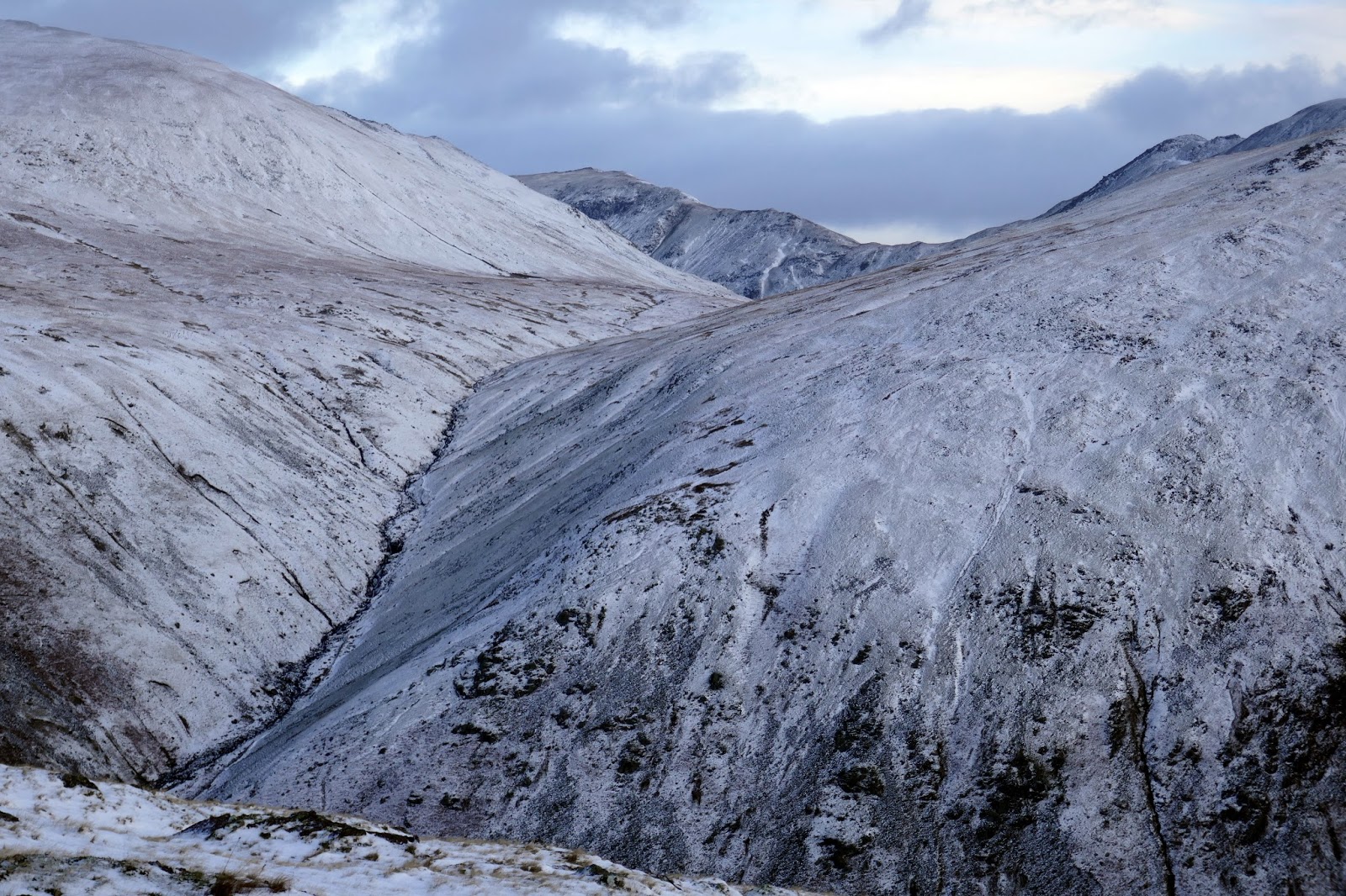
| Greenburn |
 |
| Add caption |
 |
| Greenburn |
 |
| Rough Crag |
 |
| Brownrigg Moss |
 |
| The central and southern fells |
 |
| Nab Crags |
 |
| Wythburn |
 |
| One of the old boundary posts on Steel Fell |
 |
| Panorama from Steel Fell |
 |
| Steel Fell |
 |
| Add caption |
 |
| Raise Beck |
 |
| Cotra Breast |
 |
| Great Rigg |
 |
| Panorama from Cotra Breast |
 |
| Cotra Breast |
 |
| Steel Fell |
 |
| The view along Grasmere |
 |
| Gibson Knott over Greenburn |
 |
| Helm Crag's summit features |
 |
| Steel Fell |
 |
| Greenburn |
 |
| Below Helm Crag |
 |
| Cotra Breast leading to Steel Fell |
 |
| Seat Sandal |
No comments :
Post a Comment