Open Space Web-Map builder Code
Route: Wasdale NT Campsite, Wasdale Head Hall Farm, The Screes Footpath, Greathall Gill, Whin Rigg, Illgill Head, Maiden Castle, Fence Wood
Date: 16/06/2013
From: Wasdale NT Campsite
Parking: Wasdale NT Campsite
Start Point: Wasdale NT Campsite
Region: Southern Fells
Route length: 9.3 miles (15km)
Time taken: 4:30
Average speed: 2.1mph
Ascent: 778m
Descent: 805m
Wainwrights on this walk:
Whin Rigg (535m),
Illgill Head (609m)
Additional summits: None
Other points of interest: Screes Footpath, Wastwater Screes
On my final weekend in the Lake District for some weeks, we decided on a circular walk that involved crossing the famous Wastwater Screes (a Site of Special Scientific Interest) as well as taking in another two Wainwrights,
Whin Rigg and
Illgill Head; the two peaks that create the 2000 ft tumbling curtain of rock on Wastwater's eastern shores. Having seen The Screes (as labelled on the OS maps) a number of times before in passing, I hadn't realised there was a path that crossed them. It certainly didn't look possible looking at them from the opposite shore. Only one way to find out for sure....
 |
| The Wastwater Screes reflecting beautifully on a summer evening. Surely there is no way across? |
Leaving the campsite at Wasdale Head, we made the short trip past Wasdale Head Hall Farm to join the start of the Screes Footpath. 'Rocky, uneven and slippery' was the warning on the sign on the gate. Perfect. The weather was almost playing fair again, after a miserable night, and blue skies were interspersed with drifting white clouds. Passing through the gate, we followed the path as it crosses the steep slopes of
Illgill Head.
 |
| The Screes footpath as it crosses the lower slopes of Illgill Head |
 |
| Knott Ends and Yewbarrow on the opposite side of the lake |
After an undulating section of narrow path, reminiscent of a low-level climbers traverse, the path crosses the first area of fallen stone. For the most part, the route is fairly distinct and the fact that the path is guarded on either side by the steep scree and a short tumble in the water prevents any travelling 'off piste'.
 |
| The path is easy to follow across the first section of The Screes |
 |
| Low cloud mingles with the crags of Bell Rib and Vicker's How |
 |
| A view straight up the steep sheet of rock |
After crossing the area of smaller scree and gaining bit of altitude, the path regains its grassy nature and continues along to the real star of the day; the boulder field. From here it's a navigational free-for-all as the path disappears and is replaced by the jumbled pile of stones. I really enjoyed this part of the walk, hopping across the boulders while working up a decent sweat in the process. Before long, the path reappears and the boulders begin to subside as you reach the very end of Wastwater.
 |
| Ian leads the way across the boulders |
 |
| The path eventually reappears and leads you to..... |
 |
| ..... the Southern end of Wastwater |
Now, all that stood in the way of the first peak of the day was a 400m climb straight up alongside Greathall Gill to
Whin Rigg. After climbing
Scafell the day before, this steep half-hour climb really took it out of the legs and it was a welcome relief as the path becomes less steep and guides you to the summit.
 |
| Wastwater from the steep path up to Whin Rigg |
 |
| The path becomes less steep as you reach the summit |
Whin Rigg means
'gorse covered ridge' from the Norse "
Hvin" (gorse) and "
Hryggr" (ridge). At 535m,
Whin Rigg is fairly modest in height but it has some very good views into Wastwater thanks to two vast gullies; Great Gully and C Gully, that cut into its slopes. The views down Great Gully are staggering but, unfortunately, it's a location reserved for climbers as it contains 17 vertical pitches as well as the remains of an aeroplane. Apparently.
 |
| Great Gully - no planes to be seen |
From
Whin Rigg, a 1 mile stretch of high ground links it to its parent peak,
Illgill Head. Keeping to the left of the ridge offers further views down the vast slopes and crags that feed the scree below.
 |
| The Screes |
A steady climb leads you to the summit of
Illgill Head, the final Wainwright of the weekend (after
Scafell and
Whin Rigg).
Illgill Head stands at 609m, just missing out on the 2000ft mark. 1998ft will have to do for this one.
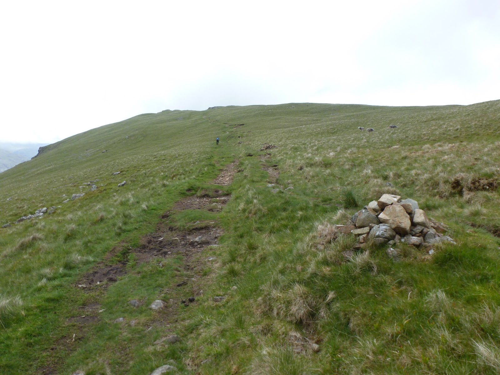
After a brief stop on the summit, it was time to drop back down to the campsite where the cars were parked. The path to the northeast takes you back down the grassy slopes to Maiden Castle and the old corpse road between Wasdale Head and Boot. From here, it's a case of following the numerous cairns past Straighthead Gill and a set of abandoned buildings down towards the campsite.
 |
| A dilapidated building looks across to Lingmell |
While descending the path, the sun finally made an overdue appearance. Too little too late I'm afraid but it did brighten up the final few hundred metres of walking.
 |
| The path down to the campsite is lit by the afternoon sunshine |
This is a very pleasant walk with a few surprises for the unexpected. Despite their relative lack of height, the views down the gullies of
Whin Rigg and
Illgill Head would easily rival those found on many of the higher, more famous peaks. I'd highly recommend a trip to these two rather overlooked fells next time you are in Wasdale especially to traverse the famous Wastwater screes and peer down the near endless crags of Great Gully and C Gully.
Leaving Wasdale behind, I crossed the infamous Hardknott Pass, one of (if not the) steepest road in England. It's an epic ribbon of tarmac draped on the sides of Eskdale and the Duddon Valley. A stern test for the car but a great end to a great weekend.
 |
| The Hardknott Pass. Probably my favourite road in the country |


No comments :
Post a Comment